コロナウイルス感染を発信元情報まで追えるインタラクティブなマップ

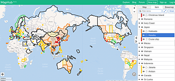
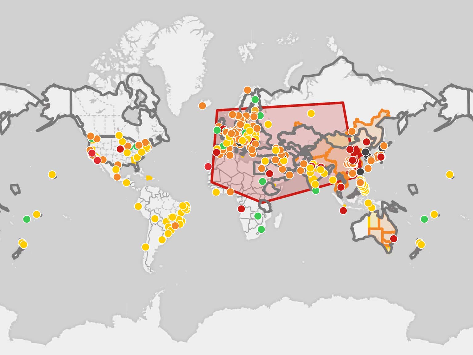
海外掲示板Redditの有志により、新型コロナウイルス感染の広がりがわかるインタラクティブなオンラインマップが公開されています。
マップのリンクは以下です。
Wuhan Coronavirus Map by Fuuuuuuu · MapHub
Global (Feb 9)
40,133 cases - 904 Deaths
Updated every few minutes.
* Orange for confirmed
* Yellow for suspected
* Green for cleared (Negative tests, these will be removed from the map after 2-3 days)
* Red for quarantine
* Black borders around countries indicate travel restrictions
If anything is incorrect or missing, contact us by posting in this reddit thread: https://redd.it/f0i87bマップの説明書きを意訳したので、よかったら参考にしてください。
Updated every few minutes.
(数秒ごとに更新される。)
* Orange for confirmed
(オレンジ:感染を確認)
* Yellow for suspected
(黄色:感染の疑い)
* Green for cleared (Negative tests, these will be removed from the map after 2-3 days)
(緑:除去(検査で陰性、これらは2〜3日後にマップから削除される))
* Red for quarantine
(赤:検疫)
* Black borders around countries indicate travel restrictions
(国の周りの黒い境界線は旅行制限を示す)
他にも、ジョンズ・ホプキンズ大学システム科学工学センターにより公開されたオンラインマップも存在しますが、マップをクリックして各感染情報の参照元(英語)まで辿れるという点で使いやすいです。双方を組み合わせて閲覧するのが今の所ベストだと思います。
焦らず、騒がず、地図上にマッピングされるコロナウイルス情報を見て、冷静に感染の様子を判断するのが、現時点で一番良い対応です。
参照元:Reddit
